STRATA
Custom Climate Security Analytics
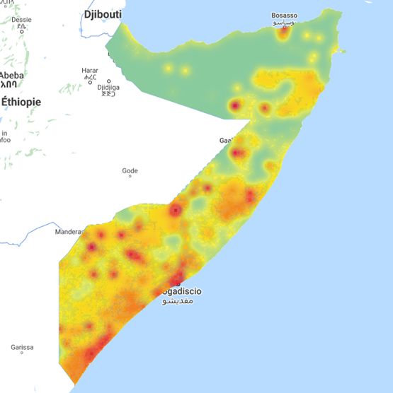
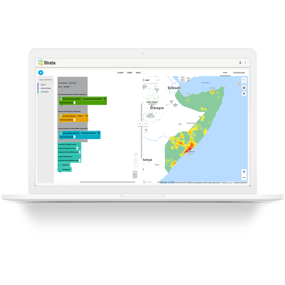
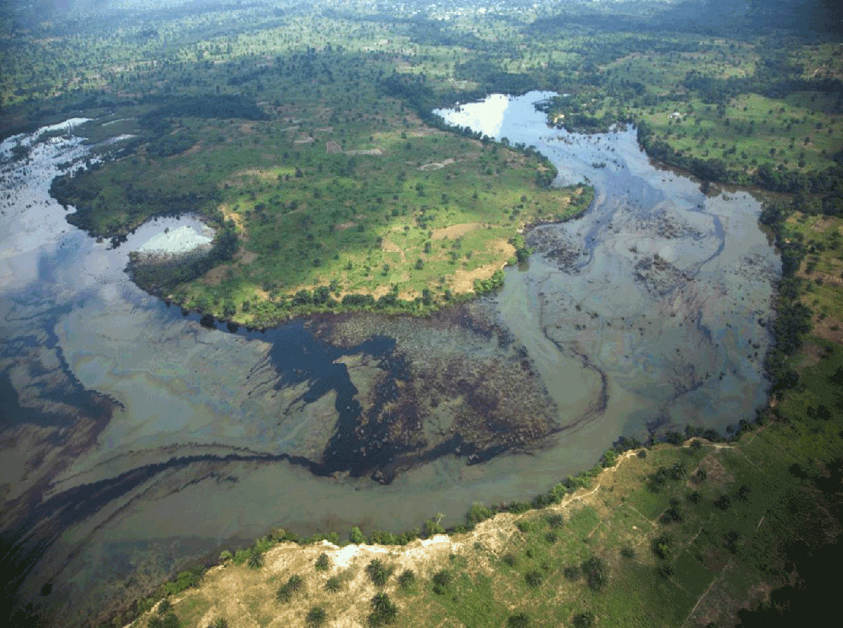
Strata is a geospatial data platform that supports practitioners and policymakers to identify and track environmental and climate stresses potentially driving threats to peace and security. Strata allows analysts, policy makers and practitioners to access and use climate security data in their daily work, including to raise awareness of converging risks, to design and prioritise policy and programming responses, and to monitor and evaluate interventions.
Strata's prototype is available for the Horn of Africa and is freely available online as a digital public good. The customisable maps and metrics of hotspots provide insights where environmental and climate stresses converge with socio-economic risks. Strata will develop additional regional and country platforms, with the aim of consolidating these into a global open-access platform in 2023.
- UN Climate Security Mechanism toolkit: Overview, Briefing note, Conceptual approach, Data sources, Conflict analysis checklist
- Conflict and Environment Observatory
- Weathering Risk
- Water, Peace & Security forecast for risk of conflict over the next twelve months
- The Global Conflict Risk Index
- Ecological Threat Register
- ND-GAIN Country Index

Contact: strata@un.org